The West Highland Way at 62
96 miles of beauty, sunshine, rain, mud and slog
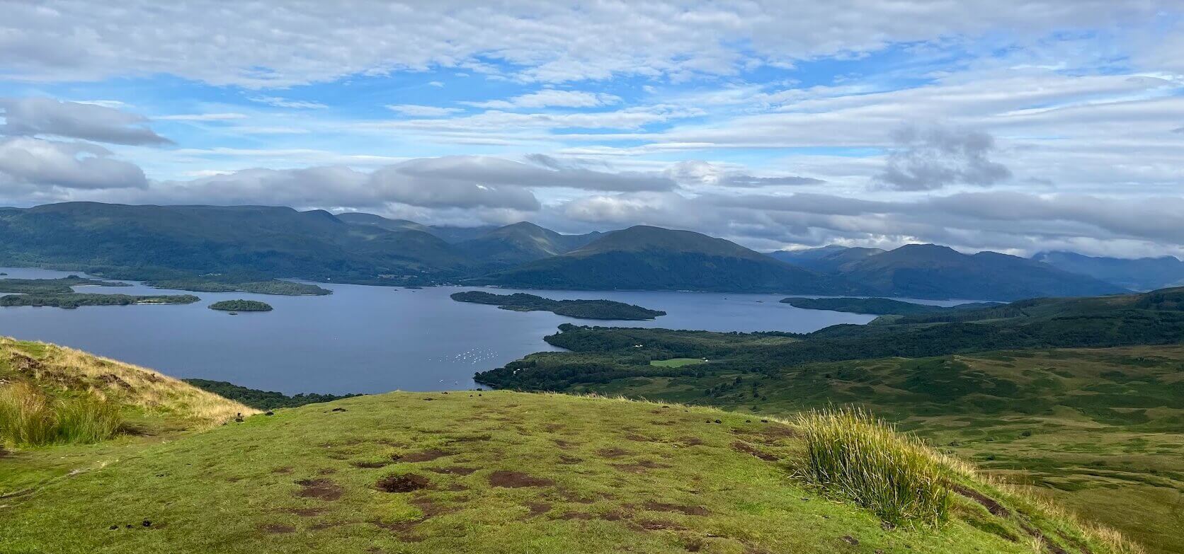
WHW Planning & Logistics: A Quick Reference
Planning the West Highland Way requires more than just fitness—it requires strategy. Based on my 96-mile trek, here is a breakdown of the logistical insights that helped me succeed.
Key Planning Insights
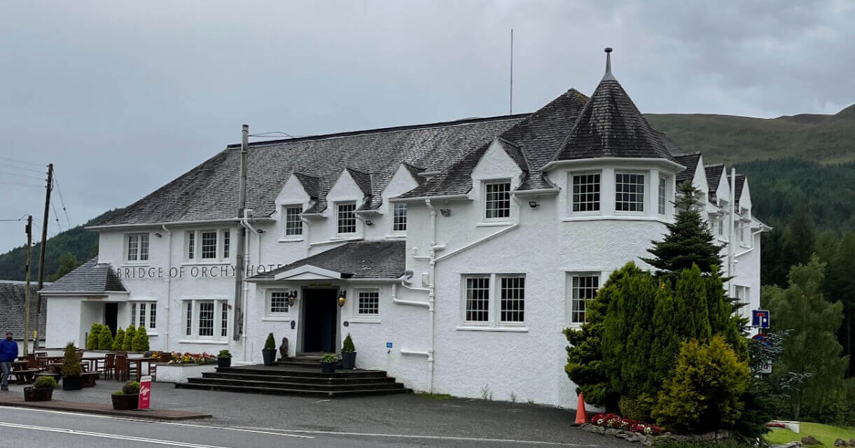
- Accommodation: Book well in advance. If you cannot find trail-side lodging, look for transport-accessible towns like Tyndrum.
- Baggage Services: Essential for multi-day treks. It allows you to carry only your day-pack, saving your knees on steep descents.
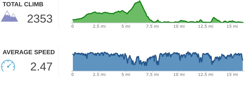
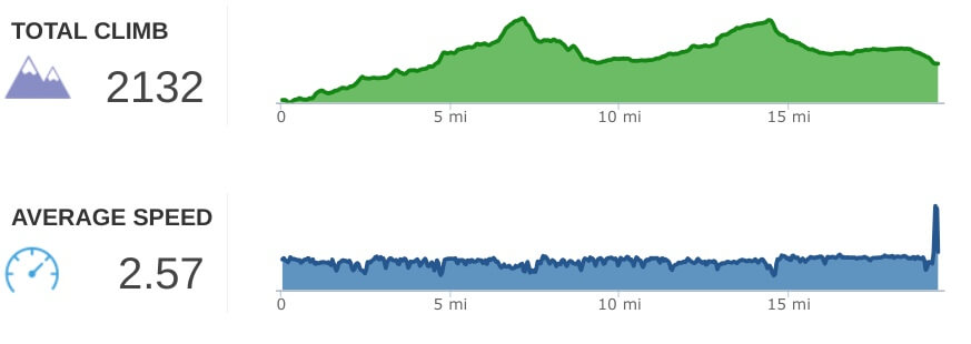
- Terrain Strategy: Do not underestimate the descent. If you have knee concerns, use trekking poles and prioritize a lighter pack.
Essential Tools & Tips
- Navigation: Use apps like Hiiker as a backup to trail signage.
- Safety: Register your phone with the UK's Emergency Services (Text "register" to 999).
- The "Honesty Box" Culture: Always carry small change; these local stalls are often the only source of snacks in remote sections.
Looking for more? Navigate through my daily accounts below for specific trail notes and photos from each stage.
I am not a hiker
The seed of the idea to do the West Highland Way was planted on a 2 months trip to the UK in 2019. I met a couple of ladies on a walk along the rugged but beautiful coastline of west Cornwall, between Trebarwith and Tintagel Castle. We stopped and chatted for a bit and they asked if I had done the West Highland Way (WHW) in Scotland, to which I responded I had never heard of it. Their description of their experience walking the entire trail caused me to make a mental note to check into it when I arrived in Scotland. My wife and I had just retired and the 2 month UK trip was a celebration of our new found freedom. The itinerary consisted of a roadtrip encircling the UK and Ireland, driving west from London, through the southwest of England, then on to Ireland via the Fishguard ferry crossing. From there we would drive southwest, then up the west coast into Northern Ireland and across to Scotland and the Scottish Highlands, before heading back to London via the eastern portion of England.
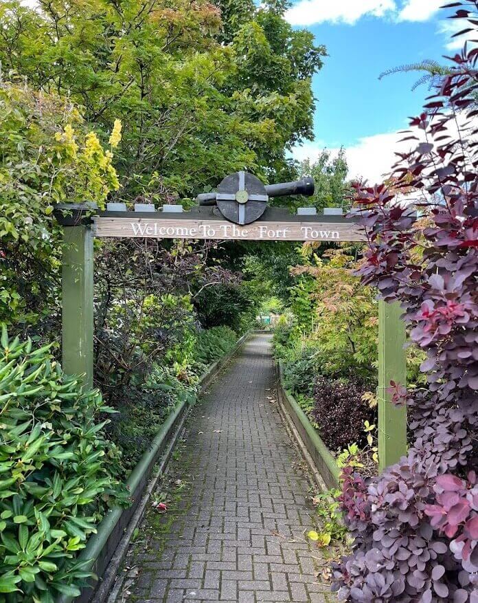
I fell in love with the Scottish Highlands. The weather took some getting use to as a Floridian, but I loved Fort William, its pace, its location, the surrounding areas and the trails. I was bitten by the bug to explore the surrounding mountain trails. The walks were short and strenuous at first, but became longer and less difficult by the end of the 3 weeks there.
The seed of the idea to tackle the West Highland Way, a journey from Glasgow to Fort William, through mountains and valleys along the shores of Lochs, took hold and its roots began to emerge. Tackling the West Highland Way morphed from an idea into a bucket list item.
I made plans to return the following year to attempt it in 2020, but the world was shut down because of the Covid pandemic. Four years later, in August 2023, I successfully made the attempt... I did it solo and I loved it! What I did not expect was the total enjoyment of being on my own in an environment of absolute beauty. It was almost spiritual, every breath, a breath of clarity, and every view, a thing of beauty.